Commonly, geographic data are being collected in geo- and biosciences. These coordinates can be presented on maps on the internet.
Most internet users are aware of mapping applications by Google through the desktop application “Google Earth” or the website service for address searches.
Webservices offer to use these functions in other internet applications and offers an application programming interface - API.
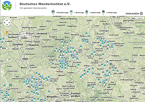
maps can be incorporated in scientific websites: dot points (localities) can be presented on both street maps and satellite maps, addresses can be searched for and additional applications can be accessed by mouse-click.